Everything I have built
Pick a card for the full story, or filter by type above. Pictures are clips on made-up data, screenshots with simulated data, or illustrations, and each is labelled.
Nothing matches that. Try another word or clear the filter.
Radio kit, network tools, engineering models, AI skills, apps for the bike and the kayak, and the air traffic tools where it all started. Each one started as a real problem. I set the requirements, AI writes the code, and I test it until it’s useful.
3D airspace: simulated traffic onlyIf you only look at three things, make it these. Each card says the problem, what I built and how I checked it. All data shown is simulated.
Evidence figures come from my own bench tests, run on simulated data. The Feed Suite and Simulator clips are simulated demos made for this site, not recordings of the tools.
Pick a card for the full story, or filter by type above. Pictures are clips on made-up data, screenshots with simulated data, or illustrations, and each is labelled.
Nothing matches that. Try another word or clear the filter.
These run in your browser now, with no install and no account. The air traffic demos use simulated traffic only. The outdoor pages use public weather data.
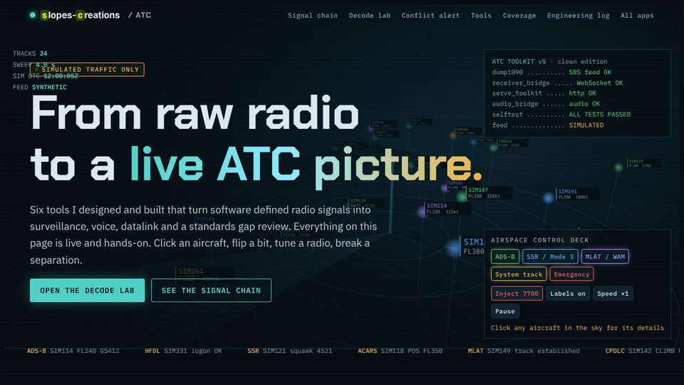 Air traffic · simulated3D airspace and ATC labsFly the sky, flip bits in a message, break the separation.
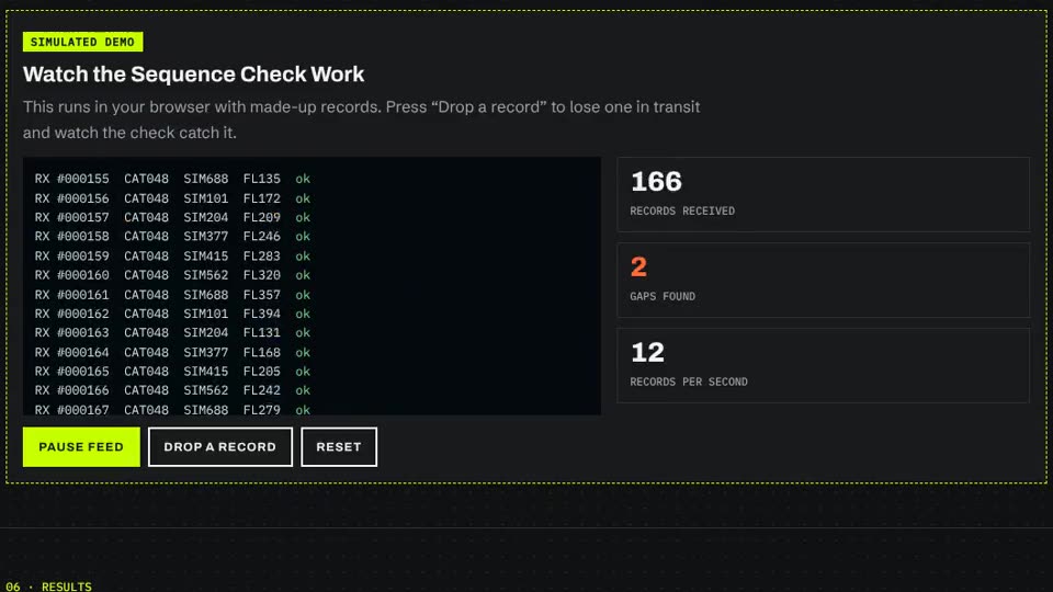 Surveillance data · simulatedFeed sequence checkDrop a record in transit and watch the check catch it.
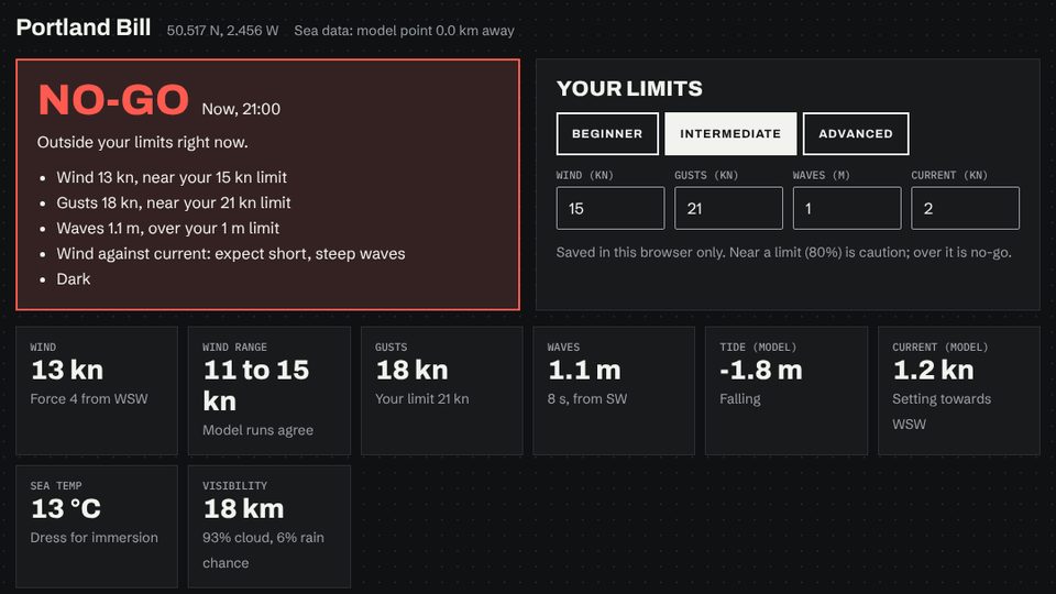 Outdoors · live weatherSea kayak conditionsWind, waves, tide and current rated go, caution or no-go.
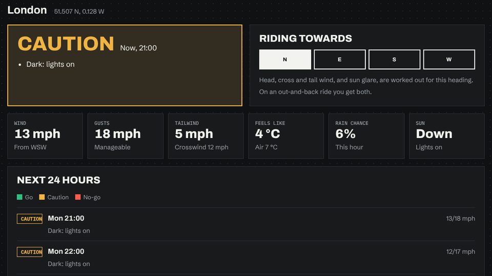 Outdoors · live weatherRide conditionsWind on your heading, darkness, frost and road salt.
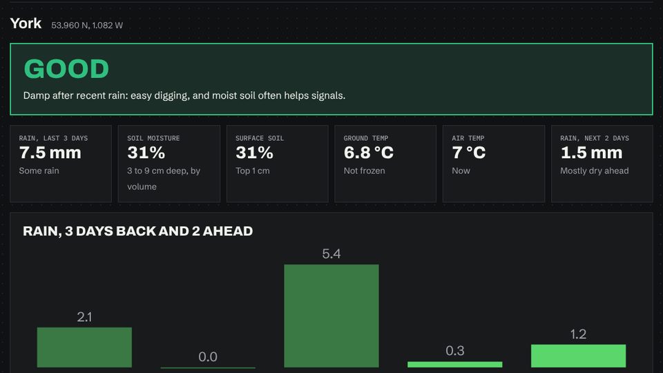 Outdoors · live weatherGround todayRain, soil moisture and frost for detecting.
Radio · live space weatherBand conditionsSolar flux and geomagnetic activity for radio.
Pictures are screenshots of these pages, taken with simulated forecast data.
ASTERIX stands for All-purpose Structured EUROCONTROL Surveillance Information Exchange. It is the published EUROCONTROL format that air traffic systems use to pass surveillance data, such as radar reports and aircraft tracks, from one system to another. Every field is defined down to the bit, so a lot of information fits on a slow link. Several tools on this site generate, listen to or decode it.
The FSPEC byte is a row of switches. Each of the first 7 bits says whether one data item is in the record. The last bit (FX) says whether another FSPEC byte follows. Tap a bit to switch an item on or off. The item names are simplified examples, not a real profile.
FSPEC byte: --
Category names from the EUROCONTROL list of ASTERIX categories (October 2025). The full rules are in the EUROCONTROL Specification for Surveillance Data Exchange, Part 1. Nothing here is real traffic.
Tees, hoodies, mugs and stickers with the radar and sc mark, printed to order. Open the merch shop
I’m Paul Sloper and Slopes is my workshop label. Road, track, touring and a 987-mile End to End on the bike side; air traffic engineering, radio and single-board computer builds on the other. These apps come from the second half, with a few that help the first.
IP addresses, port numbers, hostnames, site names, people’s names, frequencies and other identifying details are removed or generalised on this page. It describes what each app does, not where it runs. Where an app has a short clip, it shows the app running on made-up data. The Feed Suite and Simulator clips are simulated demos built for this site instead, so no real airfield or network data appears. Brand names, real site names and airline callsigns were swapped out before recording.
Find me at @cyclingslopes or email info [at] slopes-creations [dot] co [dot] uk.